


Day three
Dolgellau to Ceredigion
65km (40.3 miles) | 2800m (9,186ft)
Leaving Southern Snowdonia over Cadair Idris and heading into the Cambrian Mountains of Mid Wales
Hatchling course?
Start to support point (Machynlleth) – 40km | 1800m
OR
Support point (Machynlleth) to the finish – 25km | 1000m
Pumlumon Fawr is the highest point of the extensive Cambrian Mountains, but the even mightier Cadair Idris guards the approach early in the day. You pass through the centre of two towns on this day. Ice cream or chips? If you complete Day Three, the statistics are on your side for completing the race.
Tip
Click/tap on "Learn more" then expand the map to get more route details.
Cut-off times
- Abergynolwyn (CP 5) cut-off time is 12:30
- Support point (Machynlleth - CP 9) cut-off time is 15:30
Guidance times
(These are best viewed on the race map issued at registration but included here for your convenience)
START 06:00 / CP 1 07:40 / CP 2 08:30 / CP 3 10:00 / CP 4 10:15 / CP 5 11:15 / CP 6 13:00 / CP 7 14:15 / CP 8 15:15 / CP 9 16:15 / CP 10 17:00 / CP 11 20:35 / CP 12 21:35 / FINISH 22:00
Following the route
Please see our guidance on following the route for information about mandatory/recommended sections, how to best access the digital version of the route (including information about GPX files), and what to expect from the event map issued at registration
IMPORTANT: exploring the route pre-event
Please see our guidance on exploring the race route pre-event for information. Note that some sections of the route are private – we arrange special access for the event, and you jeopardise the future of the event if you access these sections at other times. Full information is available in the guidance article.
Get a step ahead with the official event map
Aspirant participants are invited to purchase a copy of last year's event map. An ideal companion for those who prefer a tangible map to spread out on the coffee table to pour over during the build up to the event. Glean extra information about the route (subject to small changes) and familiarise yourself with the layout and style of this bespoke map ahead of being issued yours at registration.
Day three terrain type
Get a full flavour of day three from our race footage
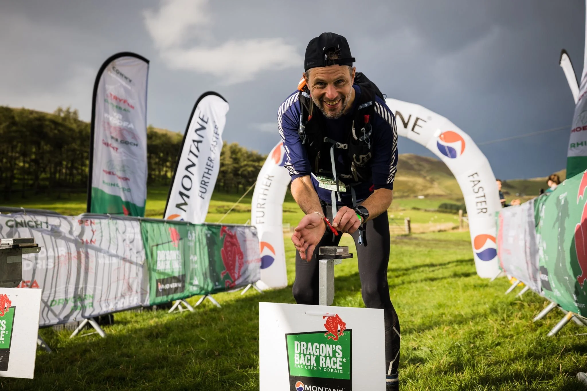
video cover photo ©No Limits Photography